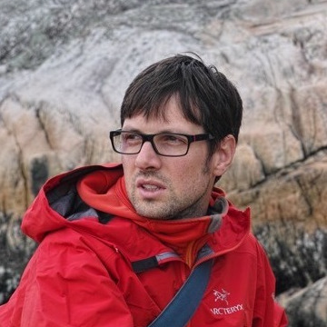
Welcome, my name is Cyrille Médard de Chardon and I am a professional Geographic Information System (GIS) analyst and researcher. While I enjoy teasing out answers to complex spatial questions I also greatly enjoy teaching, designing and developing interactive educational tools and web applications and exploring the outdoors.
I enjoy the whole process from knowledge discovery to knowledge transfer. There is sweet pleasure in using a R, GIS, Python and other tools to discover new spatial, social or statistical trends & facts and create a simple communicative experience using good design and the interactive capabilities of modern internet browsers.
This site serves as a platform to present some short data explorations or early thoughts on larger projects and publications.
FrakturMedia migration
FrakturMedia used to be a blog (2010 - 2014) of more vaired topics. Completion of my doctoral work ended my contributions. Some of those posts have been ported here that fall inline with the more focused theme. This new site was launched in mid-2019.
PhD research
A mixed method comparative study of the bicycle sharing revolution
Between November 2012 and October 2016 I completed my PhD at the Universities of Luxembourg and Louvain-la-Neuve on bicycle sharing systems (BSS) in Europe and North America, focusing on the data BSS generate, how and why they are rebalanced as they are, and, finally the politics that surround BSS deploymentsand measures of success. Succinctly, my findings describe how investing in cycling infrastructure is a more effective and just investment to achieve the goals that are currently used to promote BSS adoption or success.
Geographic Information Systems (GIS)
I have experience with a diverse kinds of GISystems completing diverse tasks (e.g., routing, catchment, projections). Rather than describe those, here are some of the tools I use to complete my analyese:
- R, see the sp or sf packages
- QGIS
- Whitebox GAT
ArcGIS
Teaching
I spent a year teaching English in Japan and loved it! Upon returning and starting my Masters in Geography at Simon Fraser University I relished planning new fun ways of teaching my GIS and tutorial lessons. I believe some of my drive for fun and motivational teaching comes from my training instructors when working for a dot com company in 1999 (yes the company went under). In teaching introductory and advanced GIS I try to always come up with topical and fun exercises (e.g., Martial law in the US - which is quickly become less fantastical). While I found some potential for captivating exercises in quantitative courses I found qualitative courses, such as Economic geography, to be much more flexible and allow innovative and interactive lesson techniques. Following my good experiences at SFU and as a GIS instructor at the British Columbia Institute of Technology (BCIT)[http://www.bcit.ca] I have taught introductory GIS or web GIS for the University of Luxembourg’s Masters program since 2011. More recently I have taught GIS at the University of Hull.
Usability
User experience and interaction design
During my Masters research I designed and developed multiple interactive education interfaces focusing on teaching stakeholders how groundwater interacts with surface water. My research mainly focused on designing dynamic and interactive hypothetical landscape scenario models based on industry and academic recommended practices. On the practical side the models were developed using C++ with OpenGL and JavaScript with SVG. JavaScript has been incredibly usefull in refining interface usability (e.g., design and data gathering on user experience). I strongly recommend ‘JavaScript: The Good Parts’ by Douglas Crockford for those interested in improving their JS. Usabilitiy is often neglected in both the physical and virtual spaces. The reason I enjoy my diverse skill set is that I can consider interaction design choices while still in early stages of research. Poor usability can devalue great work.
Sustainability and social change
My research experience has revolved around communicating the impacts individuals can have on the quality and quantity of their surroundings. I believe that there are many challenges that need to be addressed to improve everyone’s quality of life. I strongly believe that the biggest boost to healthy physical and mental living starts at the local planning level with the integration of multiple transportation systems, employment, services, community spaces that encourage varied social interaction and appropriately sized efficient (in terms of land use and energy) housing. To be clear, urban infrastructure and individual life style changes are required.


Comments